How to Identify Viable Bore Water Locations Using Hydrogeological Surveys!
In many rural and regional parts of Australia, especially across Victoria, bore water is a critical source of water for agriculture, households, and industrial operations. However, successfully accessing reliable groundwater is not as simple as drilling and hoping for the best.
To ensure long-term water security and avoid costly mistakes, it’s essential to conduct a hydrogeological survey before drilling. At Oz Geos, we specialize in identifying viable bore water locations using scientific methods, local data, and advanced technologies.
Here’s how the process works—and why it’s crucial for anyone planning to install a water bore.
What is a Hydrogeological Survey?
A hydrogeological survey is a comprehensive assessment of subsurface water conditions, focused on identifying the depth, quality, quantity, and sustainability of groundwater.
This investigation includes:
- Geological mapping
- Aquifer identification
- Water table analysis
- Pumping test data
- Historical groundwater records
- Water quality sampling
It forms the foundation of any bore water project and helps ensure your investment delivers safe, sustainable water access.
Key Steps in Identifying a Viable Bore Water Site
1. Desktop Study and Data Review
We begin by reviewing existing data, including:
- Geological maps and satellite imagery
- Historical bore logs and groundwater records from nearby sites
- Government databases (e.g., DELWP, GMW)
This helps us understand the regional geology and locate potential aquifers.
2. On-Site Geological and Geophysical Investigations
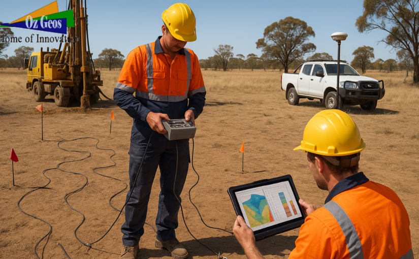
Using tools like resistivity meters, electromagnetic surveys, and GPS mapping, we assess:
- Subsurface layering
- Rock and soil types
- Depth to water-bearing formations
- Fracture zones or faults that may store water
These techniques provide real-time, non-invasive data about what lies beneath the surface.
3. Aquifer Identification
Not all water-bearing zones (aquifers) are suitable for bore water extraction. We evaluate:
- Aquifer type: Confined or unconfined
- Permeability: How easily water flows through the rock or soil
- Recharge rate: How quickly the aquifer replenishes naturally
- Sustainability: Whether it can meet long-term water demands without depletion
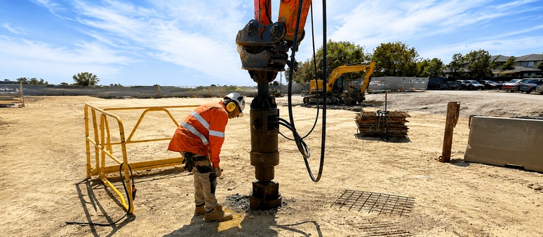
4. Test Drilling and Pump Testing
Once a potential bore site is selected, a test borehole is drilled to validate our findings. This stage includes:
- Yield testing to determine flow rate (litres per second)
- Pumping tests to monitor water levels over time
- Water sampling for lab analysis (salinity, hardness, contaminants)
This confirms if the bore can provide consistent, high-quality water for your intended use.
Factors That Affect Bore Water Viability
- Local geology: Sandstone and fractured rock generally hold more water than clay or silt
- Depth to water table: Deeper aquifers may require more costly drilling and energy to pump
- Water quality: Salinity or contamination may limit use for drinking, irrigation, or livestock
- Proximity to other bores: Overuse in a confined area can reduce groundwater levels and affect flow
Why Choose Oz Geos for Bore Water Surveys?
At Oz Geos, we bring together hydrogeologists, geotechnical engineers, and drilling experts to deliver:
- Accurate and detailed groundwater investigations
- Fast and cost-effective reporting
- Assistance with bore licensing and compliance
- Bore siting for farms, commercial use, and rural properties
- Custom water management strategies
Our approach reduces risk and ensures you get the best outcome—safe, reliable, and sustainable bore water access.
Ready to Find Groundwater on Your Property?
Whether you’re a farmer, landowner, developer, or business, Oz Geos can help you find and access the best groundwater sources with confidence.